|
|
USA Political Map - Executive Antique style. Sepia-toned antique-style map with current information. Attractive map for offices, waiting rooms, and other public places.
United States Wall Maps by Imus Geographics
United States Wall Maps by Michelin
United States Wall Maps by Interarts
United States Wall Maps by Maps International
 Thumbnail of the map Thumbnail of the map
 Sample of the map detail. Sample of the map detail.
 Thumbnail of the USA Boardroom wall map Thumbnail of the USA Boardroom wall map
United States Wall Maps by Rand McNally
United States Map by Dino's MapsClick here for Children's Maps of the World.
United States Wall Maps by Raven Press
| | |||||||||||||||||||||||||||||||||||||||||||||||||||||||||||||||||||||||||||||||||||||||||||||||||||||||||||||||||||||||||||||||||||||||||||||||||||||||||||||||||||||||||||||||||||||||||||||||||||||||||||||||||||||||||||||||||||||||||||||||||||||
 United States Wall Maps
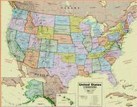
 Thumbnail image of the entire map
 Sample of the map detail
 An enlarged view of the mounted map
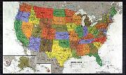
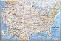 United States Political Map - Classic Style. Our most popular United States wall map. Features all 50 States with insets for Alaska and Hawaii. All major cities, transportation routes, State boundaries, National Parks, inland waterways, and mountain ranges are clearly displayed and labeled.
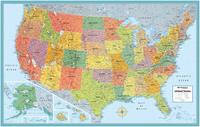
 An image of the full map
 A detail of the map
 A sample of the legend
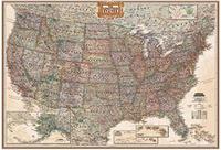
 Sample #1
 Sample #2
 A full image of the map
 A detail of the map
 A sample of the legend
 Recommended!
 Image of the entire Imus Geographics USA wall map.
 Sample detail from the USA wall map.
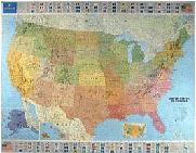
 Thumbnail of the map
 Sample of the detail.
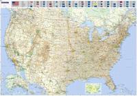
 Thumbnail of the map
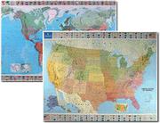 Discounted set price
 Thumbnail of the map
 Sample of the detail.
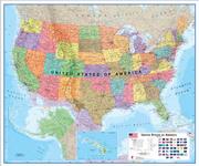
 Thumbnail of the Rand McNally USA map
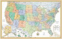
 Thumbnail of the Rand McNally USA map
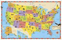
 Thumbnail of the Rand McNally Kids illustrated USA map
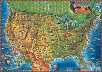
 Image of the entire map
 Sample detail of the map
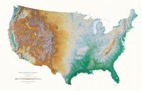
 Image of framed map on a wall.
 Thumbnail image
 Detail image
 Thumbnail image
 Detail image