|
|
North Carolina Seismicity Map. 1:1,000,000. 1980. USGS (MF-1224). Map size is 81 x 86 cm.
Fossil Collecting in North Carolina (text). NCGS (Circular 89). Gives directions to popular collecting areas in North Carolina. Softcover.
|
|||||||||||||||||||||||||||||||||||||||||||||||||||||||||||||||||||||||||||||||||||||||||||||||||||||||||||||||||||||||||||||||||||||||||||||||||||||||||||||||||||||||||||||||||||||||||||||||||||||||||||||||||||||||||||||||||||||||||||||||||||||||||||||||||||||||||||||||||||||||||||||||||||||||||||||||||||||||||||||||||||||||||||||||||||||||||||||||||||||||||||||||||||||||||||||||||||||||||||||||||||||||||||||||||||||||||||||||||||||||||||||||||||||||||||||||||||||||||||||||||||||||||||||||||||||||||||||||||||||||||||||||||||||||||||||||||||||||||||||||||||||||||||||||||||||||||||||||||||||||||||||||||||||||||||||||||||||||||||||||||||||||||||||||||||||||||||||||||||||||||||||||||||||||||||||||||||||||||||||||||||||||||||||||||||||||||||||||||||||||||||||||||||||||||||||||||||||


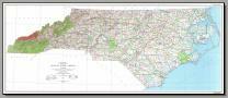
 Sample detail of the North Carolina Road Map
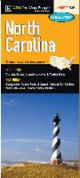
 Sample detail of the North Carolina Road Map
 Sample detail of the Scenic Road Trips Map of the Carolinas
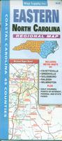
 Sample detail of the Eastern North Carolina Road Map
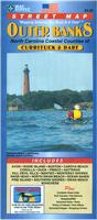
 Sample detail of the Outer Banks Road Map
 Laminated
 Waterproof
 Sample from the North Carolina Road Map
 Front of the North Carolina Road Map
 Reverse of the North Carolina Road Map
 Laminated
 Waterproof
 Waterproof!
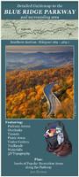
 Sample detail of the Southern Blue Ridge Parkway Map
 Sample detail of the Southern Blue Ridge Parkway Map
 Image of the Southern Blue Ridge Parkway Map
 Sample detail from the Clinton city map.
 Sample detail of the Greensboro map.
 Sample detail of the Hickory map.


 Sample from the Raleigh street atlas by ADC
 Sample from the Greater Piedmont street atlas by ADC
 Sample from the Fayetteville street atlas by Map Supply
 Sample from the Greensboro street atlas by Map Supply
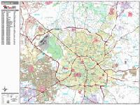
 Sample detail from the Raleigh wall map.
 Thumbnail of the Concord wall map.
 Sample detail from the Wilmington wall map.
 Thumbnail of the Wilmington wall map.
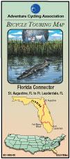

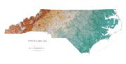
 North Carolina map coverages
 Thumbnail of the front of the map.
 Thumbnail of the reverse of the map
 Detail from the map.
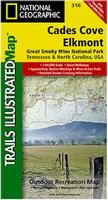
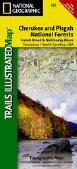
 Sample of the Cades Cover hiking map
 Sample of the Clingmans Dome hiking map
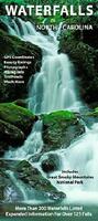 Waterproof!
 Sample detail of the Waterfalls Map
 Image of the front of the Waterfalls Map
 Image of the reverse of the Waterfalls Map
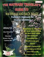
 Sample detail from the western North Carolina Waterfalls guide.
 Hunger Games movie scenes
 Image of the entire map.
 Sample detail of the South Pisgah Forest map.
 Image of the entire South Pisgah Forest map.
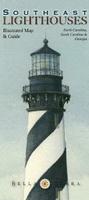
 Image of the entire Lighthouses of the Southeast map.
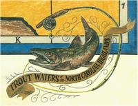
 Sample of the trout fishing map
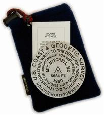 Cast in pewter!
 Larger image of the Mt. Mitchell paperweight.
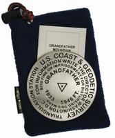
 Larger image of the Grandfather Mountain paperweight.
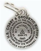 Cast in pewter!


 North Carolina State and County Wall Maps. Intelligent Direct.
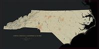
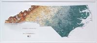
 Sample detail #1 from the North Carolina Landforms Map.
 Sample detail #2 from the North Carolina Landforms Map.
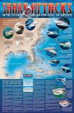 A great gift for the shark enthusiast!
 Image of the entire poster
 Sample of the map detail, covering Florida.
 Sample of the Great White Shark text.
 Sample of the text describing the attacks.
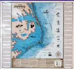
 Thumbnail image
 Detailed image
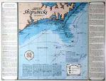
 Thumbnail image
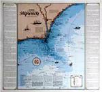
 Thumbnail image
 Detailed image
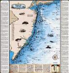
 | $5.99 | 62-1000NC | North Carolina flag, small. Size 4 x 6 in. |
| $9.95 | 62-1001NC | North Carolina flag, medium. Size 8 x 12 in. |
| $37.95 | 62-1003NC | North Carolina flag, large. Size 2 x 3 ft. |