|
|
New York City Street Maps - Paper Maps.
New York City Street Maps - Waterproof Maps.
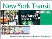
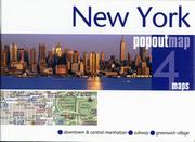
Van Dam Laminated Maps. VanDam. Published by the award-winning graphic artist and cartographer Stephen Van Dam, these laminated pocket maps offer superb detail in a handy pocket-sized format. The maps include shopping information, subway system information, images of major landmark buildings to help you orient yourself in the city, a street index, blow-ups of the main city-center tourist area, and much more. VanDam offers three different formats. Streetsmart is their main line of laminated detailed acordian-folded city maps. Popups are their small, shirt-pocket-sized maps with the flooming-flower-style fold pattern. The Unfolds maps are larger versions of the Popup maps and use the same blooming-flower style of folding.
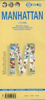
New York's Manhattan is a magnet for visitors and locals alike. This map stretches from the northern edge of Central Park to The Battery and shows subway lines and railways plus the stations. All ferry routes are included. The core of the subway system is shown on the back cover, with an inset map of the entire system being shown on the map itself.
New York City Street Atlases
Maps of Cities of New York other than NYC.Paper Maps of Cities of New York other than NYC.
Waterproof Maps of Cities of New York other than NYC.
Street Atlases for Cities of New York State other than NYC
New York Cities City, County, and State Business Wall Maps
We offer wall maps for Albany, Binghamton, Brentwood, Buffalo, Cheektowaga, Greece, Hempstead, Irondequoit, Levittown, Mount Vernon, New Rochelle, New York City, New York 5 Boroughs, Niagara Falls, Rochester, Schenectady, Syracuse, Troy, Utica, White Plains, and Yonkers. .
Click here to order city wall maps and to see sample images, prices, sizes, and mounting options.
We offer state and county wall maps for all of the USA. The maps come in sizes from 24 x 36 to 108 x 144 inches. They are available in variety of mounting and framing options. The maps are ideal for business applications, sales territory, delivery planning, direct mail targeting and hundreds of other applications. Click here to order county wall maps and to see sample images, prices, sizes, and mounting options. Click here to order state wall maps and to see sample images, prices, sizes, and mounting options.
|
|||||||||||||||||||||||||||||||||||||||||||||||||||||||||||||||||||||||||||||||||||||||||||||||||||||||||||||||||||||||||||||||||||||||||||||||||||||||||||||||||||||||||||||||||||||||||||||||||||||||||||||||||||||||||||||||||||||||||||||||||||||||||||||||||||||||||||||||||||||||||||||||||||||||||||||||||||||||||||||||||||||||||||||||||||
 New York Road and City Maps
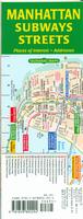
 Sample map detail from the Manhattan Subway and Buses map.
 Sample map detail from the Manhattan Buses and Streets map.
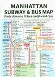
 Sample map detail from the Manhattan Subway & Bus wallet map.
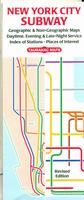
 Sample map detail from the Manhattan Subway map.
 Sample map detail from the Manhattan Subway map.
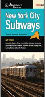
 Sample detail of the New York City pocket street map
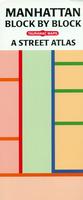
 Sample map detail from the Manhattan Block by Block atlas.
 Sample detail of the New York City street map

 Laminated!
 Sample detail of the laminated Manhattan street map
 Waterproof!
 Sample detail of the RedMap Midtown Manhattan street map
 Image of the RedMap Midtown Manhattan street map
 Waterproof!
 Sample detail of the Manhattan shopping map
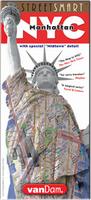
 Enlarged detail of the Manhattan Streetsmart map
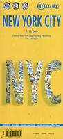
 Sample detail of the laminated New York City street map
 Waterproof!
 Sample detail of the New York City street map
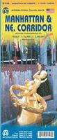 Waterproof
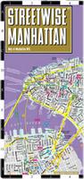
 Sample detail of the Manhattan street map
 Thumbnail of the Manhattan street map
 Thumbnail of the Northeast Corridor map
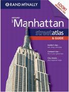
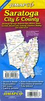
 Sample detail of the Saratoga map
 Sample detail of the Albany street map by Jimapco
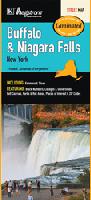 Waterproof!
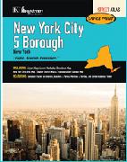
 Sample detail of the New York City street atlas
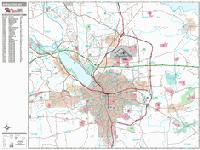
 Sample detail from the Syracuse wall map.
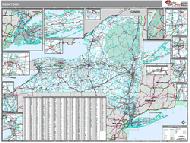 New York County and State Wall Maps.