|
|
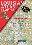
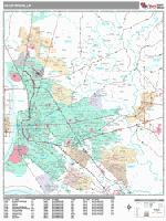
Louisiana Road and Topographic Atlases
 Sample detail from the Louisiana atlas Sample detail from the Louisiana atlas
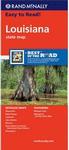
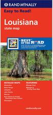
Louisiana Road MapsLouisiana Road Maps - Paper
Louisiana Road Maps - Laminated
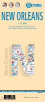
Louisiana City Street MapsNew Orleans City Street Maps - Paper
New Orleans City Street Maps - Laminated
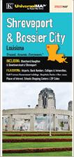
City Street Maps for other Louisiana Cities - Paper
Louisiana City Wall Maps
We offer wall maps for Baton Rouge, Bossier City, Kenner, Lafayette, Lake Charles, Metairie, Monroe, New Orleans, and Shreveport. Click here to order and to see sample images, prices, sizes, and mounting options. Louisiana Recreation Maps
Louisiana Wall Maps & Louisiana Satellite Posters
We offer state and county wall maps for all of the USA. The maps come in sizes from 24 x 36 to 108 x 144 inches. They are available in variety of mounting and framing options. The maps are ideal for business applications, sales territory, delivery planning, direct mail targeting and hundreds of other applications. Click here to order county wall maps and to see sample images, descriptions, and prices. Click here to order state wall maps and to see sample images, descriptions, and prices.
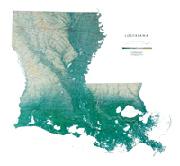
Louisiana Geological and Thematic MapsLouisiana Geologic Map. 1:500,000. 1984. LGS. Map size is 110 x 101 cm.
Louisiana Seismicity Map. 1:1,000,000. 1979. USGS (MF-1081). Map size is 64 x 97 cm.
Mineral Resources Map of Louisiana. 1:500,000. Louisiana Geological Survey, 1999. A color plot of a digital map.
Louisiana Flags
|
||||||||||||||||||||||||||||||||||||||||||||||||||||||||||||||||||||||||||||||||||||||||||||||||||||||||||||||||||||||||||||||||||||||


 Ideal for the outdoors - cycling, hiking, etc.

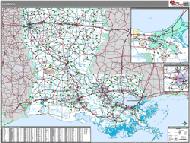
 Sample detail of the Louisiana road map
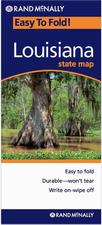 Laminated!
 Laminated!
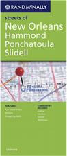

 Image of the front of the New Orleans map
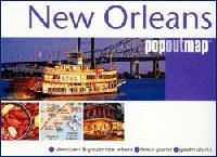
 Laminated
 Sample detail from the New Orleans map
 Image of the front of the New Orleans map
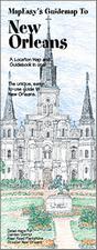 Waterproof
 Sample detail from the New Orleans MapEasy map
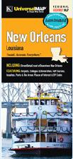 Laminated
 Waterproof
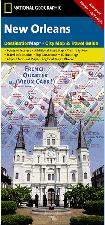
 Sample detail from the New Orleans Destination map
 Laminated
 Sample detail from the Baton Rouge wall map.


 Louisiana State and County Wall Maps. Intelligent Direct.
 Thumbnail of the map.
 Sample of the detail.
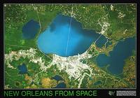


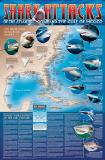 A great gift for the shark enthusiast!
 Image of the entire poster
 Sample of the map detail, covering Florida.
 Sample of the Great White Shark text.
 Sample of the text describing the attacks.
 Louisiana Flags