|
|
Sweden Topographic MapsSweden 1:50,000 Topographic Map series - click here. Sweden 1:100,000 Topographic Map series - click here. Sweden 1:250,000 Topographic Map series - click here. Gotland Topographic Map. 1:100,000. LMV. Two sheets, in Swedish.
Gotland Topographic Quadrangle Maps. 1:50,000. LMV. Nine sheets, in Swedish.
Sweden National Atlas
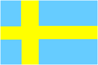
Sweden Flags
|
||||||||||||||||||||||||||||||||||||||||||||||||||||||||||||||||||||||||||||||||||||||||||||||||||||||||||||||||||||||||||||||||||||||||||||||||||||||||||||||||||||||||||||||||||||||||||||||||||||||||||||
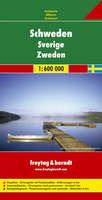
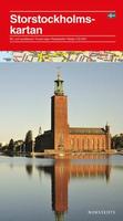
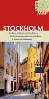
 Sweden Maps


 Front of the Finland and Sweden travel map.
 Reverse of the Finland and Sweden travel map.
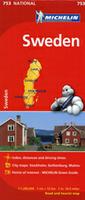
 Recommended
 Sample detail from the Sweden travel map.
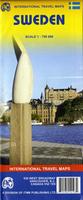
 Sample detail of the Sweden travel map
 Thumbnail of the front of the Sweden travel map
 Thumbnail of the reverse of the Sweden travel map
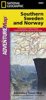 Waterproof!
 Sample detail of the Southern Sweden travel map
 Front of the Southern Sweden travel map
 Reverse of the Southern Sweden travel map
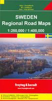
 Sketch map showing sheet coverage.
 Sample of the map detail
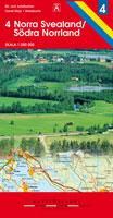
 Index map
 Sample of the map detail
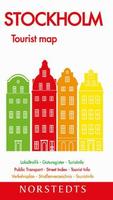
 Laminated
 Laminated
 Sweden Flags