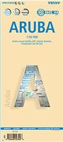
The map shows all the island's known roads and streets with their names, displays its many diving sites and an extensive set of biking routes, and locates all the major hotels by name.
The map contains the following features:
Attractive full color layout with high-quality glossy finish
Rich topographic detail
Symbol key and scale
Main and secondary roads, diving and shipwreck sites, biking and hiking trails, hotels, beaches and reefs, Arikok National Park and other natural features, caves, bird refuge and watching sites, turtle nesting sites, gold smelter and windmill ruins, international airport, parking areas, hotels, hospitals, lighthouses, gas stations, places of worship, cemeteries, schools, museums, ports and marinas, police stations, post offices, wind turbines, geological formations, and other points of interest.
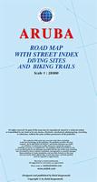
The map shows all the island's known roads and streets with their names, displays its many diving sites and an extensive set of biking routes, and locates all the major hotels by name.
The map contains the following features:
Rich topographic detail
Symbol key and scale; depth curves, soundings, heights, and contour lines in meters, longitude and latitude lines and other identifiers.
Indian inscriptions (petroglyphs), slave-labor camps, watermills, and other historic sites; international airport, parking areas, sports arenas, medical centers, lighthouses, gas stations, places of worship, schools, police stations, post offices, and other points of interest;
Waterproof! Bonaire Travel Map. Franko's Maps.
Waterproof map showing the tourist sites and services on the island, including dive spots, etc. Printed on waterproof, tear-resistant synthetic paper. Map size is 17 x 25 inches when unfolded.
Sample of the detail of the map of Bonaire.
$9.99
66-33877
1 sheet, folded.
Curacao Travel Map. 1:55,000. Kasprowski.
The map covers Curacao and Klein Curacao (Scale 1:55,000) on the front, plus Willemstad urban area on the reverse, spanning from the international airport to Spanse (Scale 1:18,500). Insets of the Willemstad town center (Scale 1:8,000), Grote Berg (Scale 1:6,000), Tera Kora (Scale 1:6,000), and Barber (Scale 1:6,000).
The map shows all the island's known roads and streets with their names, displays its many diving sites and an extensive set of biking routes, and locates all the major hotels by name.
Rich topographic detail
Symbol key and scale
Main and secondary roads, diving and shipwreck sites, biking and hiking trails, hotels, beaches and reefs, Arikok National Park and other natural features, caves, bird refuge and watching sites, turtle nesting sites, gold smelter and windmill ruins, international airport, parking areas, hotels, hospitals, lighthouses, gas stations, places of worship, cemeteries, schools, museums, ports and marinas, police stations, post offices, wind turbines, geological formations, and other points of interest.
Recommended! Saba Travel Map. 1:7,000. Michal Kasprowski.
This complete road map with a street index of Saba renders all the island's known roads and streets with their names and locates hiking trails and diving sites. Size is 26 x 38" unfolded.
Covers all roads and streets in detail and is updated on a regular basis.
Indicates tourist destinations, churches, reefs, marinas, airports, gas stations, lighthouses, and other places of interest.
St. Eustatius Travel & Topographic Map. 1:10,000. Michal Kasprowski.
The map shows in great detail roads and streets with their names and locates hiking trails, diving sites, parish boundaries, insets of the islands' respective capitals, and several shipwrecks off Barbuda.
The double-sided map, with one island on each side, is 26 3/8" x 35" when opened. The maps have three levels of roads (footpaths, secondary roads, and main roads) and symbols representing a large number of physical features.
The maps contain the following features:
Extensive topographic detail;
Symbol key, scale, and street index;
Airports, beaches, beacons, caves, cemeteries, churches, diving sites, gas stations, geological formations, hiking trails, hill shading, hospitals, a lighthouse, marinas, moorings, parish boundaries, parking areas, police stations, ports, post offices, reefs, shipwrecks, old sugar windmills, and other points of interest.
 Laminated!
 Sample #1 of the detail of the map of Aruba.
 Image of the front of the map of Aruba.
 Image of the reverse of the map of Aruba.
 Thumbnail of the Aruba map.
 Sample detail from the Aruba map.
 Sample detail from the Orangested inset map.
 Sample detail from the Aruba map.
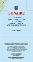
 Thumbnail of the Bonaire map.
 Sample detail from the Bonaire map.
 Sample detail from the Bonaire map.
 Sample detail from the Kralendijk inset map.
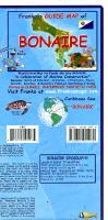 Waterproof!
 Sample of the detail of the map of Bonaire.
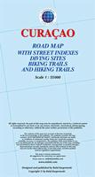
 Thumbnail of the Curacao map.
 Sample detail from the Curacao map.
 Sample detail from the Curacao map.
 Sample detail from the Willemstad map.
 Thumbnail of the front of the Curacao map.
 Thumbnail of the reverse side of the Curacao map.
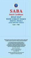 Recommended!
 Sample detail from the Saba map

 Sample detail from the St. Eustatius travel map
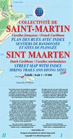 Recommended!