|
|
Mauritania 1:200,000 Topographic Quadrangle Map Set. 1:200,000. Soviet government. High quality topographic maps for a country where little else is available. This set gives complete coverage of Mauritania in 178 sheets. In Russian.
The index map is for the old French series - please choose your sheets using that index and we will translate into the Soviet series.
|
||||||||||||||||||||||||||||||||||
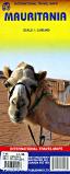
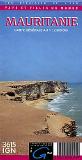
 Mauritania Maps
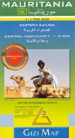
 Sketch showing map coverage
 Sample of the map detail.


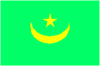
 Mauritania Flags