|
|
Great Britain Road Maps
Great Britain Travel Map. 1:720,000. ITMB. In this edition, ITMB endeavors to combine a detailed road map with a touristic sites map. Given that Britain is both densely covered by thousands of narrow lanes passing themselves off as sub-B level roads and by having the greatest treasure trove in the world of castles, manor houses, gardens, museums, and interesting places worth visiting, and the task of portraying all this information becomes formidable. To keep the map from becoming too cluttered, ITMB had to compromise, so if you don't find the little laneway leading to your favourite pub in Devon, sorry. But if you're hankering to visit Foula Island, it's on the map!
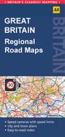
Great Britain Regional Road MapsThe very popular British Ordnance Survey Travelmaster 1:250,000 regional series is no longer made by the OS. The popular AA regional series is nearly identical to the OS series and the best substitute. Others will like the Michelin series, although it is at a smaller, less detailed, scale..
Great Britain Historical Maps. OS. These maps cover various historical topics and regions; each includes descriptive text and color photos. Recommended for tourists.
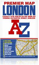
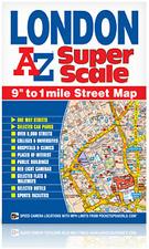
 Image of front of the London Premier map Image of front of the London Premier map
 Sample detail from the London Premier map. Sample detail from the London Premier map.

United Kingdom City Topographic Maps. 1:10,000. Soviet government. These maps are regular topographic maps that include contour lines, power lines, rail/trolley lines, etc. In Russian. Note: Nearly all of these are now out of print and we have only the four listed below.
|
||||||||||||||||||||||||||||||||||||||||||||||||||||||||||||||||||||||||||||||||||||||||||||||||||||||||||||||||||||||||||||||||||||||||||||||||||||||||||||||||||||||||||||||||||||||||||||||||||||||||||||||||||||||||||||||||||||||||||||||||||||||||||||||||||||||||||||||||||||||||||||||||||||||||||||||||||||||||||||||||||||||||||||||||||||||||||||||||||||||||||||||||||||||||||||||||||||||||||||||||||||||||||||||||||||||||||||||||||||||||||||||||||||||||||||||||||||||||||||||||||||||||||||||||||||||||||||||||||||||||||||||||||||||||||||||||||||||||||||||||||||||||||||||||||||||||||||||||||||||||||||||||||||||||||||||||||||||||||||||||||||||||||||||||||||||||||||||||||||||||||||||||||||||||||||||||||||||||||||||||||||||||||||||||||||||||||||||||||||||||||||||||||||||
 Great Britain Maps


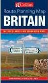 Britain Route Planning Map. 1:550,000. Collins. Detailed double-sided road map of Great Britain. Includes urban area maps at 4 miles per inch. Includes restricted access motorway junctions information (i.e. no exit to A1 Southbound at exit 48), points of interest and other tourist information, and route numbers on all "A" and "B" roads. ISBN 0-00-717099-8.

 Waterproof
 Sample detail #1 of the Great Britain travel map.
 Sample detail #2 of the Great Britain travel map.
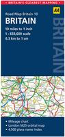 Britain Route Planning Map. 1:633,600 (10 miles to the inch). AA (GB's Auto Association). Fully updated, this map combines clear design and an easy-to-read scale with more road detail to ensure that you never lose your way. Including information on toll points, service areas, road numbers, motorways, dual carriageways and wide and narrow local roads. National Parks and places of interest are also highlighted including National Trust, English Heritage and Scottish and Welsh heritage sites. The map is presented in a practical slimline format, with a durable weatherproof cover for protection from the elements.

 Sample detail from the AA regional road map series.
 Sketch map showing the sheet layout for the AA Great Britain regional map series
 Sketch map showing the sheet layout for the old OS series so you can pick the appropriate AA map.
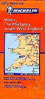
 64-6190-M-501 Sample
 64-6190-M-502 Sample
 64-6190-M-503 Sample
 64-6190-M-504 Sample
 Sketch map showing the sheet layout for the Michelin Great Britain regional map series
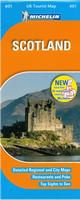 Laminated!
 Sample detail from the Michelin Scotland map #601
 Sketch map showing the sheet layout for the laminated Michelin Great Britain regional 600-series maps
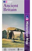

 Sample from the map.
 New title!
 Thumbnail of the front of the map
 Thumbnail of the front of the map

 Waterproof!
 Waterproof!


 Sample detail from the Edinburgh street map
 Sample detail from the Scotland road map
 Waterproof!


 Sample detail from the Oxford city atlas.