|
|
Djibouti 1:200,000 Topographic Quadrangle Map Set. 1:200,000. Soviet government. High quality topographic maps for a country where almost nothing else is available. This set gives complete coverage of Djibouti in 10 sheets.
TPC 1:500,000 Charts
ONC 1:1,000,000 Charts
|
||||||||||||||||||||||||||||||||||||||||||||||
 Djibouti Maps
 Sample of the map detail
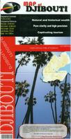 New title!
 Sample from the Djibouti city map.
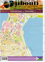 New edition
 Sample from the Djibouti city map.
 Index showing sheet coverage
 Sample from this series (image is from a sheet covering Korea)
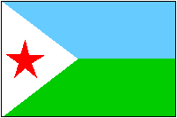
 Djibouti Flags