|
|
United Arab Emirates Travel Map. 1:750,000. GEOprojects.
 Sample detail #1 of the Abu Dhabi Jumbo Street Atlas Sample detail #1 of the Abu Dhabi Jumbo Street Atlas
 Sample detail #2 of the Abu Dhabi Jumbo Street Atlas Sample detail #2 of the Abu Dhabi Jumbo Street Atlas
United Arab Emirates City Maps. Explorer Publishing, UAE. These large fold-out maps shows the whole of the cities in pinpoint detail. The easy-to-read map features road names and numbers, hotels, malls, parks, beaches, schools, hospitals, and places of interest.  Sample detail of the Fujairah City Map Sample detail of the Fujairah City Map
 Sample detail of the Fujairah City Map Sample detail of the Fujairah City Map
 Sample detail of the Sharjah City Map Sample detail of the Sharjah City Map
United Arab Emirates 1:100,000 Topographic Quadrangle Map Set. 1:100,000. Soviet government. High quality topographic maps for a country where little else is available. This set gives complete coverage of the UAE in 60 sheets. In Russian.
United Arab Emirates 1:200,000 Topographic Quadrangle Map Set. 1:200,000. Soviet government. 1975-1979. High quality topographic maps for a country where little else is available. Those sheets covering the inhabited areas have descriptive text on the reverse. This set gives complete coverage of the UAE in 23 sheets. In Russian.
Recommended
PDA edition:
|
||||||||||||||||||||||||||||||||||||||||||||||||||||||||||||||||||||||||||||||
 United Arab Emirates Maps
 Sample of the map detail
 Index showing map coverage
 Cover of the map.
 Sample of the Oman map detail
 Sample of the Oman map detail.
 Sample detail of the Liwa Satellite Map

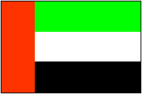
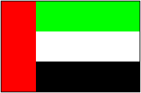 United Arab Emirates Flags