Ruwenzori Mts. of Uganda/D.R.Congo. 1:20,000; 1:50,000; 1:400,000. West Col Productions, Britain. An excellent hiking map of this popular trekking spot. Includes concise information on hiking routes, climbing routes, flora and fauna, access, guide companies, and much more.accommodations,
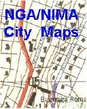
 Sample details from the Kampala city map.
 Uganda Maps
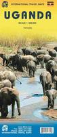
 Thumbnail of the front of the Uganda map
 Thumbnail of the reverse of the Uganda map
 Sample from the Entebbe map.
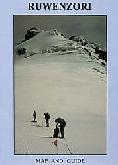

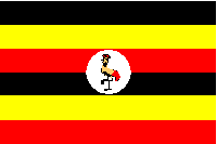
 Uganda Flags