TPC (Tactical Pilotage Chart), ONC (Operational Navigation Chart), and JOG Charts for the World. JOG - 1:250,000; TPC - 1:500,000; ONC - 1:1,000,000. DMA/NIMA/NGA.
World Aeronautical Charts, including TPC and ONC charts, cover land areas at a standard size and scale for navigation by aircraft operating at high altitudes. However, their level of detail makes them useful as topographic maps for those areas where little else is available. The topographical information includes city tints, principal roads, railroads, distinctive landmarks, drainage patterns, topography and relief. Contour lines are at 500 feet intervals, with intermediate contours where appropriate, along with numerous spot heights. Color tints on a hypsometric scale are also shown. The aeronautical information includes visual and radio aids to navigation, airports, airways, restricted areas, obstructions and other pertinent data. There is less detail in some areas due to insufficient information - these areas are labelled on the charts. These are large maps, with a typical size of 42 x 56 inches. Due to the size and color variation of the different print runs and the Conformal Conic Projection, these maps do not splice together well. World Aeronautical Charts are not recommended for use by pilots of low speed, low altitude aircraft. For many countries, the TPC and ONC charts offer the only topographic maps readily available on a sheet-by-sheet basis, especially in English. We stock all of the TPC (1:500,000) charts, and ONC (1:1,000,000) charts. Remember that the TPC charts are numbered like B-02C and the ONC charts are B-02.
NOTE: These series have been discontinued by the US government. We have limited stock of paper maps as noted below. The others are available as color plots or as digital files. Sheets not listed here are not available.
NOTE: The digital files and hence the color plots are of variable quality. The best quality are NGA-produced digital maps, but they lack collar information (the information in the margins around the map). These maps do have latitude/longitude coordinates inside the map area so the lack of them around the borders is insignificant. Some maps were scanned from paper originals and they have collar information and the scans range from excellent to fair. We will send the best quality that is available.
Sample images: The two 8" x 8" sample images cover the same area (northwest of Seoul, South Korea) so that you can see the difference in the level of detail between the two series.
Sample of a TPC chart Sample of an ONC chart
Note: Those charts not listed are no longer available.

 TPC/ONC Index for Africa.
 TPC/ONC Index for Europe.
 TPC/ONC Index for eastern Russia and North Pacific.
 TPC/ONC Index for central Russia, China, Southeast Asia.
 TPC/ONC Index for western Russia, the Middle East, India, etc.
 TPC/ONC Index for western Pacific Ocean, etc.
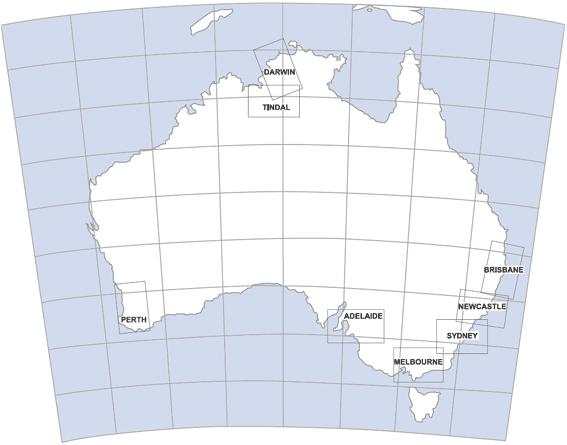 TPC Index for Australia.
 TPC/ONC Index for Indian Ocean, Indonesia, Philippines, etc.
 TPC/ONC Index for South America.
 TPC/ONC Index for North and Central America.
 TPC Index for Canada.
 TPC/ONC Index for the North Pole area.
 TPC/ONC Index for the South Pole area.
 Sample of a TPC chart
 Sample of an ONC chart