|
|
Papua New Guinea Topographic Maps
Physical & Thematic MapsPapua New Guinea Vegetation and Timber Resources Map Series. 1:500,000. Dates approx. 1972. This 18-sheet set offers complete coverage of Papua New Guinea. The maps show vegetation zones and timber resources. In English.
Papua New Guinea Settlement and Communications Map Series. 1:500,000. Dates approx. 1972. This 18-sheet set offers complete coverage of Papua New Guinea. The maps show locations of both urban centers (villages of more than 1500 people) and settlements (more than 100 people but less than 1500 people). The map also shows roads. In English. Size is 21-1/2 x 29"
Papua New Guinea Terrain Map Series. 1:500,000. Dates approx. 1972. This 18-sheet set offers complete coverage of Papua New Guinea. The maps terrain type, such as perennial swamp, coral terraces, karst plateau, etc. The map also shows roads. In English. Size is 21-1/2 x 29"
Papua New Guinea Cross-Country Movement Map Series. 1:500,000. Dates approx. 1972. This 18-sheet set offers complete coverage of Papua New Guinea. The maps are color-coded to show the speed of movement across country for tanks, 4/4 vehicles (Landrovers), and men going cross country and men using tracks/trails. This is an unusual, and interesting, type of map. The map also shows roads. In English. Size is 21-1/2 x 29"
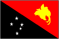
Papua New Guinea Flags
|
||||||||||||||||||||||||||||||||||||||||||||||||||||||||||
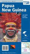
 Papua New Guinea Maps
 Sample detail from the New Guinea map.
 Sample detail from the Papua New Guinea travel map
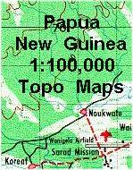
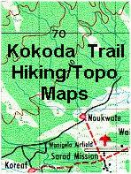
 General map showing the location of the trail.
 Sample of the map detail.


 Papua New Guinea Flags