|
|
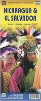
A good travel map of these two countries, with the road and tourist information overlain on an excellent physical base map. The map shows Nicaragua on one side at 1:700,000 and El Salvador on the reverse at 1:250,000.
Nicaragua City Topographic Maps. NIMA.
Nicaragua Satellite Poster
Nicaragua Topographic MapsNicaragua 1:50,000 Topographic Maps - click here. Itemized listings, index maps, sample images. Nicaragua 1:250,000 Topographic Maps. 1:250,000. INETER, 2003.Complete coverage is offered by this series. These are Nicaraguan issue maps, not NGA/Nicaragua co-issued maps. They are compiled from 1:50,000 topographic maps and mid-late 1990's satellite imagery, and issued typically in 2003.
Nicaragua 1:250,000 Topographic Maps. 1:250,000. NGA/NIMA. Original paper maps printed by the US military; older than the INETER maps listed above. Complete coverage of Nicaragua is available.
Nicaragua División Político-Administrativa Maps (Department Maps). Variable scale. These are detailed color plots showing the administrative divisions within Nicaragua. In Spanish.
|
||||||||||||||||||||||||||||||||||||||||||||||||||||||||||||||||||||||||||||||||||||||||||||||||||||||||||||||||||||||||||||||||||||||||||||||||||||||||||||||||||||||||||||||||||||||||||||||||||||||||||
 Nicaragua Maps
 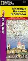 Waterproof!
 Sample detail of the Nicaragua travel map
 Front of the Nicaragua travel map
 Rear of the Nicaragua travel map
 Sample of the detail of the Nicaragua road map
 Front of the Nicaragua road map
 Reverse of the Nicaragua road map
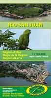
 Sample detail of the Rio San Juan Map

 Sample detail from the Chile travel map.
 Sample of the Bluefields map.
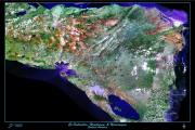

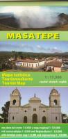
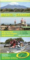
 Sample from the Granada map.
 Sample from the Río San Juan map.