New Caledonia Atlas (Atlas de la nouvelle Caledonie et dépendances). 1981. ORSTOM, France. This hardbound atlas contains 53 maps covering a variety of geographic, political, and cultural topics. Scale varies with the topic, sheet size is 52 x 42 cm. In French.
66-12595
Atlas
$159.95
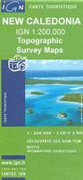
New Caledonia Topographic Quadrangle Maps. 1:200,000. IGN. The set of 4 sheets is now out of print. We have one copy of sheet three left.
NOTE: These are out of print. We have limited stock left.
66-1262-03
Iles Loyauté.
$19.99
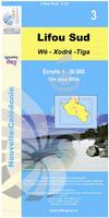
New Caledonia Topographic Quadrangle Maps. 1:50,000. IGN, France. In French.
NOTE: These are out of print. We cannot get new stock once these are sold.