Recommended Mediterranean Region Explorer Maps. 1:2,750,000 & 1:4,700,000. Ocean Explorer Maps, UK. This excellent series of maps are ideal for students and the classroom. While not really usable as a road map, the extensive historical, biological, and geographic information makes these maps extremely useful.
Generalized shaded relief maps, often with roads.
Illustrated biographies of the major explorers of the region.
Mediterranean Region Bathymetric Map. 1:1,000,000. GUGK. The map illustrates the bathymetry of the Mediterranean Sea. Contour lines are shown for both the land mass and the ocean depths. No features are named on the land masses. Ten sheets; in Russian.
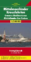

 ketch map showing area covered by the Mediterranean Sea cruise map
 Recommended
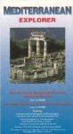
 Sample of the Mediterranean Sea Explorer map