|
|
 Sample detail of the Baltic region map Sample detail of the Baltic region map
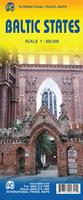
 Thumbnail of the front of the Baltic region map Thumbnail of the front of the Baltic region map
 Thumbnail of the reverse of the Baltic region map Thumbnail of the reverse of the Baltic region map
Latvia Wall Map. 1:600,000. Jana Seta. 1993. Similar to the road map 65-8190 above, but flat, not folded.
Latvia, Lithuania & Kaliningrad Railway Map.
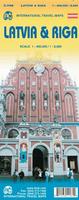
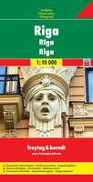
Riga regional map. 1:200,000. Jana Seta.
Latvia City Maps. Jana Seta. Most maps are in Latvian only, a few are bilingual Latvian/English.
Latvia City Topographic Maps. 1:10,000. Soviet government. These maps are regular topographic maps that include contour lines, power lines, rail/trolley lines, etc. In Russian.
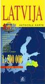
Latvia Political & Physical Maps & AtlasesLatvia Political Map. 1:600,000. Geodezijas un Kartografijas Departments. 1992.
Latvia Administrative Map. 1:400,000. Jana Seta. 1993.
Latvia Topographic MapsLatvia 1:50,000 Topographic Satellite Base Maps (Latvijas Republikas Satelitkarte). 1:50,000. LR VZD Nacionalais merniecibas centrs, 1998. 125 sheets. Transverse Mercator projection. Satellite base map with contour lines. In Latvian.
Latvia 1:50,000 Topographic Maps. LR VZD Nacionalais merniecibas centrs, 2001-. Detailed topographic maps offering partial coverage in 65 sheets. UTM grid, WGS 84. In Latvian.
Latvia 1:50,000 Topographic Quadrangle Map Set. 1:50,000. Soviet government. High quality topographic maps giving complete coverage of Latvia in 275 sheets. In Russian.
Baltic Coast Nautical Charts. 1:50,000 - 1:2,000. These are Soviet Navy charts of the Baltic coastline from the Russian-Estonian border to Kaliningrad. Additional large-scale charts, up to 1:2,000 in scale, cover major harbors or coastal military ports. This set includes 36 sheets. In Russian.
|
||||||||||||||||||||||||||||||||||||||||||||||||||||||||||||||||||||||||||||||||||||||||||||||||||||||||||||||||||||||||||||||||||||||||||||||||||||||||||||||||||||||||||||||||||||||||||||||||||||||||||||||||||||||||||||||||||||||||||||||||||||||||||||||
 Latvia Maps
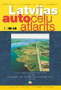
 Sample of the road maps
 Sample #1 of the city maps
 Sample #2 of the city maps
 Thumbnail image of the Latvia side of the map
 Thumbnail image of the Riga side of the map
 Waterproof!

 Sample of the map
 Sample of the text and photographs


 Latvia Flags