|
|
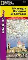
Honduras, Nicaragua, El Salvador Travel Map. Scale 1:710,000. National Geographic Maps.
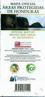
Back:  Sample detail from the front of the Honduras Protected Area map. Sample detail from the front of the Honduras Protected Area map.
 Sample detail from the reverse of the Honduras Protected Area map. Sample detail from the reverse of the Honduras Protected Area map.
Tegucigalpa City Topographic Map. 1:12,500. IGN, 1978. In Spanish.
Honduras City Topographic Maps. NIMA.
Honduras Topographic Quadrangle Maps and Political MapsHonduras 1:50,000 Topographic Quadrangle Maps - click here. Contains itemized listings, index maps and sample images.Honduras 1:250,000 Topographic Maps. 1:250,000. NGA/NIMA (JOG series). Detailed topographic maps produced by the US military.
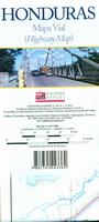
Honduras Departmental Topographic Maps. 1:120,000 - 1:230,000. 1985-. IGM. This is a series of topographic road maps that covers the entire country on a provincial basis. The maps are road maps with basic contour lines added. The maps are of a uniform size (hence the variable scale) and in Spanish.
Honduras Flags
|
||||||||||||||||||||||||||||||||||||||||||||||||||||||||||||||||||||||||||||||||||||||||||||||||||||||||||||||||||||||||||||||||||||||||||||||||||||||||||||||||||||||||||||||||||||||||||
 Honduras Maps and Guides
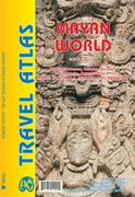
 Sample detail of the Mayan World road atlas


 Waterproof!
 Sample detail of the Nicaragua travel map
 Front of the Nicaragua travel map
 Rear of the Nicaragua travel map
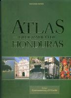
 A sample page from from the Atlas Geografico de Honduras.
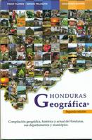
 A sample page from from the Honduras Geografica atlas.
 Sample of the Tegucigalpa map.


 Sample from the Ocotepeque map.
 Honduras Flags