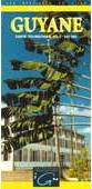
French Guiana Travel Map (Carte Routière). 1:500,000. IGN. In French.
Excellent road map of this South American country. The Cayenne-Kourou map covers the coastal region around the French space-missile launch site.
$16.95
64-5790
1 sheet folded.
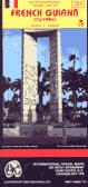
French Guiana Travel Map. 1:500,000. ITMB.
A road map with physical features and tourist sites. ISBN 1895907721.
$9.95
64-57902
1 sheet, folded
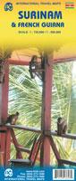
Waterproof! French Guiana and Surinam Travel Map. 1:720,000 and 1:500,000. ITMB.
Surinam and French Guiana are now combined on a double-sided single map sheet. The map shows roads by classification, parks, camping, churches, post offices, bus terminals, museums, accommodation, hospitals, tourist information, points of interest and other information.
Surinam map sample French Guiana map sample
$12.95
65-3691
1 sheet, folded
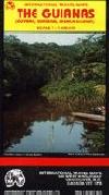
Guianas Travel Map. 1:2,000,000. ITMB.
An excellent tourist map of the three countries in the Guianas - Guyana, Suriname, French Guiana. Relief is shown by elevation tinting and spot heights. Amerindian Reserves and Nature Reserves are marked together with places of tourist interest. Rivers, swamps, mangroves and rapids are marked. Towns, cities, roads, railways and ferry routes are shown. Inset street plans of Paramaribo, Cayenne and Georgetown are included on the map, with street names are given and main buildings marked.
$8.95
64-70901
1 sheet, folded
French Guiana Topographic Quadrangle Maps
French Guiana 1:25,000 Series Bleue Topographic Maps. IGN, Paris. This series replaces the long out of print 1:50,000 and 1:200,000 series. The series covers the coastal region of French Guiana from the Suriname border in the west to the Approuague Rive and Point Béhague in the east (not quite to the Brazil border). Please see the index for specific areas covered. In french.


 Waterproof!
 Surinam map sample
 French Guiana map sample