|
|
 Sample detail of the Baltic region map Sample detail of the Baltic region map
 Thumbnail of the front of the Baltic region map Thumbnail of the front of the Baltic region map
 Thumbnail of the reverse of the Baltic region map Thumbnail of the reverse of the Baltic region map
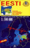
Estonia (Eesti Jalgrattakaart) Cycling Map. Scale 1:500,000. E.O. Maps.
Polva Maakonna Tourist Map. 1:100,000. E. O. Map. 1993.
Estonia Governy Historical Map (Generalkarte von Estonia). Reproduction of an 1800's german map. Now 50% off.
Estonia Railway Map - click here. Virumaa Travel Map. Regio, 1992. In English. One of the first maps published after independence from Russia. Now 60% off.
Estonia Topographic Maps
Estonia 1:50,000 Topographic Quadrangle Map Set. 1:50,000. Soviet government. High quality topoographic quadrangle maps covering this important gateway to the former USSR. This set gives complete coverage of Estonia in 255 sheets. In Russian.
Estonia 1:250,000 Topographic Map. 1993. Estonia. 4 sheets. In Estonian. Now 75% off.
Baltic Coast Nautical Charts. 1:50,000 - 1:2,000. These are Soviet Navy charts of the Baltic coastline from the Russian-Estonian border to Kaliningrad. Additional large-scale charts, up to 1:2,000 in scale, cover major harbors or coastal military ports. This set includes 36 sheets. In Russian.
. Estonia Geologic and Thematic MapsEstonia Waters Map. 1:400,000. Regio. With short text booklet. Now 75% off.
Estonian Mires (Eesti Sood) map. 1:400,000. Regio. 1993. Trilingual. Now 75% off.
|
||||||||||||||||||||||||||||||||||||||||||||||||||||||||||||||||||||||||||||||||||||||||||||||||||||||||||||||||||||||||||||||||||||||||||||||||||||||||||||||
 Estonia Maps


 Sample of the Estonia cycling map
 Sample of the Estonia cycling map city insets
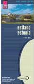


 Sample detail of the Estonia Travel Map
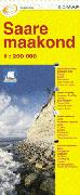
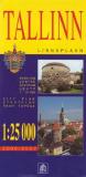

 Sample from the Tallinn map
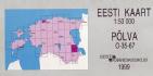

 Sample of one of the maps.
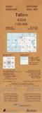

 Sample of one of the maps.
 Index map for the county map series
 Sample from the Tartumaa sheet.
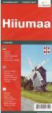
 Thumbnail of the front of the Hiiumaa map
 Thumbnail of the reverse of the Hiiumaa map
 Estonia Flags