|
|
Denmark Road Maps.
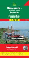
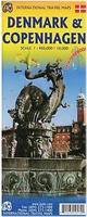
Denmark Travel Map. Freytag & Berndt. 1:400,000. Detailed road map of Denmark. The map shows mileages along the main roads, shaded relief to show elevation, and symbols are used to locate tourist sites and services. Single-sided map, size is 49" x 37" unfolded. Mulitlingual legend.
Denmark Travel Map. 1:330,000. Michelin.
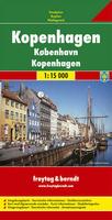
Denmark City Maps.Denmark City Maps - Laminated.
Denmark City Maps - Paper.
Denmark Topographic MapsClick here for Faroe Islands Topographic Maps.
Denmark Topographic Quadrangle Maps. 1:25,000. Kort & Matrikelstyrelsen. In Danish. These are special-order sheets with a 4-week delivery time.
|
||||||||||||||||||||||||||||||||||||||||||||||||||||||||||||||||||||||||||||||||||||||||||||||||||||||||||||||||||||||||||||||||||||||||||||||||||||||||||||||||||||||||||||||||||||||||||||||||||||||||||||||||
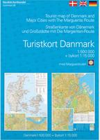
 Denmark Maps and Guides
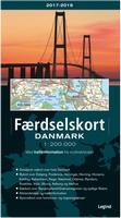
 Sample detail from the Denmark road atlas.
 Sample image
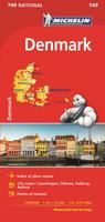
 Sample detail from the Copenhagen side of the map.
 Sample detail from the Denmark side of the map
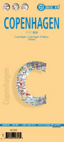 Laminated!
 Sample detail from the Copenhagen city map
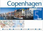
 Index map
 Index map - less detail, faster loading.
 Thumbnail image of a map sheet
 Denmark Topographic Quadrangle Maps. 1:50,000. Kort & Matrikelstyrelsen. The 110 sheets gives complete coverage of Denmark. In German/English. The series is updated every 10-12 years.

 Thumbnail image of a map sheet
 Denmark 1:100,000
 Thumbnail image of a map sheet