|
|
La Paz Department map. 1:50,000. Walter Guzman Cordova. Bilingual text.
Bolivia Road Map (Mapa Fisico - Politico - Vial). 1:2,250,000. Walter Guzman Cordova. 1991.
Cochabamba Topographic City Map. 1:15,000. NIMA.
Bolivia Hiking Maps
The maps produced by Walter Guzman Cordova are high quality hiking maps done on a full topographic base map, with tourist
information in either English or English/Spanish. Hiking trails, overnight huts, and other trial information is overprinted on the
maps. We recommend laminating the maps as the maps are printed on a high-gloss, but thin, paper. Unfortunately this publisher has gone out of business and we are limited only to the stock-on-hand.
Mururati-Illimani hiking/topographic map. 1:50,000. Walter Guzman Cordova. A topographic hiking map that covers from Nevado Illimani mountain area. With contour lines and hiking trails. Bilingual text.
Nevado Sajama hiking/topographic map. 1:50,000. Walter Guzman Cordova. A topographic hiking map that covers from Nevado Sajama mountain area. With contour lines, hiking trails, and more. Bilingual text.
Nigruni-Condoriri hiking/topographic map. 1:50,000. Walter Guzman Cordova. A topographic hiking map that covers from Nigruni-Condoriri mountain area. With contour lines, hiking trails, and more. Bilingual text.
Tourist Map of the region of Samaipata. Guzman. This map is bilingual and has a small inset showing where museums, horse riding, camping and more are located.
< Bolivia Hiking Guidebooks
Bolivia Physical and Political MapsBolivia Department Physical Maps. IGM. In Spanish.
Bolivia Physical Map (Bolivia Mapa Fisico - Politico - Vial). 1:2,500,000. IGM. 1991. A colorful shaded relief map; in Spanish.
Bolivia Political Map (Bolivia Mapa Politico - Serie Didactica). 1:2,250,000. Walter Guzman Cordova.
Bolivia Physical Map (Bolivia Mapa Fisico - Serie Didactica). 1:2,250,000. Walter Guzman Cordova.
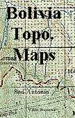
Bolivia Topographic Maps
Click here for the itemized listing of Bolivia 1:100,000 topographic maps. 1:250,000 Topographic Maps - click here. Includes itemized listings, index maps, and sample images.
|
||||||||||||||||||||||||||||||||||||||||||||||||||||||||||||||||||||||||||||||||||||||||||||||||||||||||||||||||||||||||||||||||||||||||||||||||||
 Bolivia Maps and Guidebooks
 Waterproof!


 Area covered by the Illampu sheet.
 Area covered by the Illimani sheet.
 Sample from the Illampu sheet.
 Sample from the Illimani sheet.
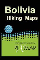
 Image of the Illimani - Mururata map


 Recommended
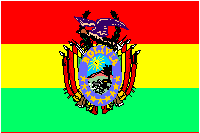
 Bolivia Flags