|
|
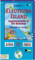
Eleuthera Guide Map. Franko's. This fabulous island is 110 miles in length, yet is just two miles wide. Many visitors stay at Harbour Island, where there is one of the most Beautiful pink sands beaches in the world, and others stay at Cape Eleuthera, where they enjoy a luxury resort while communing with nature. Beautiful Eleuthera is dotted with colonial villages. Map size is 18.5 x 26 inches unfolded, waterproof.
Bahamas Topographic and Thematic Maps
|
||||||||||||||||||||||||||||||||||||||||||||||||||||||||||||||
 Bahamas Maps
 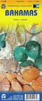 Waterproof!
 Sample detail of the Bahamas travel map.
 Laminated
 Image of the front of the Eleuthera guide map
 Image of the back of the Eleuthera guide map
 Sample image #1 of the detail of the Eleuthera guide map
 Sample image #2 of the detail of the Eleuthera guide map
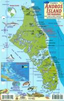
 Front of the Andros Reef Creatures card.
 Reverse of the Andros Reef Creatures card.
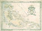

 Bahamas Flags