|
|
West Virginia Road Atlases
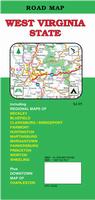
West Virginia Road Maps - Paper Maps.
West Virginia Road Maps - Laminated Maps.
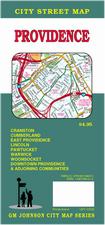
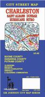
West Virginia City Maps - Paper Maps.
West Virginia City, County, and State Business Wall Maps
We offer wall maps for Charleston and Huntington.
Click here to order city wall maps and to see sample images, prices, sizes, and mounting options.
We offer state and county wall maps for all of the USA. The maps come in sizes from 24 x 36 to 108 x 144 inches. They are available in variety of mounting and framing options. The maps are ideal for business applications, sales territory, delivery planning, direct mail targeting and hundreds of other applications. Click here to order county wall maps and to see sample images, prices, sizes, and mounting options. Click here to order state wall maps and to see sample images, prices, sizes, and mounting options.
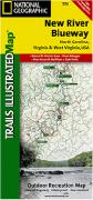
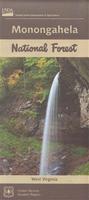
West Virginia Recreation Maps
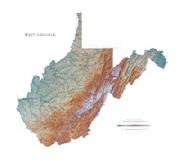
West Virginia Wall Maps
We offer state and county wall maps for all of the USA. The maps come in sizes from 24 x 36 to 108 x 144 inches. They are available in variety of mounting and framing options. The maps are ideal for business applications, sales territory, delivery planning, direct mail targeting and hundreds of other applications.
Click here to order county wall maps and to see sample images, descriptions, and prices. Click here to order state wall maps and to see sample images, descriptions, and prices.
West Virginia Geological and Thematic MapsWest Virginia Bouguer Gravity Map. 1:250,000. 1987. WVGES (Map WV25). Gravity contours on a geographic base map. Map size is 134 x 170 cm.
West Virginia Seismicity Map. 1:1,000,000. USGS (MF-1226). Black/white map showing epicenters, intensities, etc.
West Virginia Mineral Resources Map. 1:500,000. 1987. WVGES (Map WV24). Map size is 160 x 86 cm.
West Virginia Flags
|
|||||||||||||||||||||||||||||||||||||||||||||||||||||||||||||||||||||||||||||||||||||||||||||||||||||||||||||||||||
 West Virginia Maps
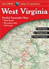


 Sample from the West Virginia atlas
 Paper map
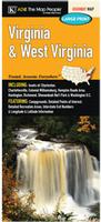 Paper maps
 Paper maps
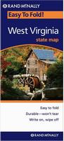 Laminated maps
 Laminated maps
 Paper maps
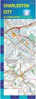
 Thumbnail image of the Charleston map by GM Johnson
 Sample detail from the Charleston map by GM Johnson
 Laminated maps
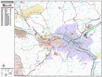
 Sample detail from the Charleston wall map.
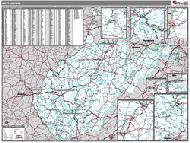 West Virginia County and State Wall Maps.
 West Virginia Hiking Map Index
  Sample of the detail from the New River Blueway map.

 Thumbnail image of the West Virginia wall map with white counties.
 Sample detail from the West Virginia wall map with white counties.
 Thumbnail image of the West Virginia wall map with colored counties.
 Sample detail from the West Virginia wall map with colored counties.
 Thumbnail of the map.
 Sample of the detail.
 West Virginia Flags