|
|
Nebraska Road and Recreation Atlas
Nebraska Topographic Atlas & Gazetteer. DeLorme. Excellent atlas using USGS topographic maps. Ideal for hikers or backroad enthusiasts.
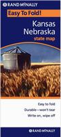
Nebraska Road Maps
 Sample detail from the North Dakota road map. Sample detail from the North Dakota road map.
Nebraska City Maps
Nebraska City Wall Maps
We offer wall maps for bellevue, Grand Island, Lincoln, and Omaha. Click here to order and to see sample images, prices, sizes, and mounting options.
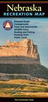
Nebraska Recreation and Topographic Maps.
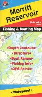
click here. We stock a selection of fishing maps for Nebraska.
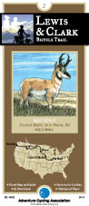
click here. We stock cycling maps for the "Lewis & Clark Cycling Trail" along Nebraska's eastern border.
click here. We stock all USGS topographic maps of Nebraska at all available scales.
click here.
Nebraska Wall Maps
We offer state and county wall maps for all of the USA. The maps come in sizes from 24 x 36 to 108 x 144 inches. They are available in variety of mounting and framing options. The maps are ideal for business applications, sales territory, delivery planning, direct mail targeting and hundreds of other applications. Click here to order county wall maps and to see sample images, descriptions, and prices. Click here to order state wall maps and to see sample images, descriptions, and prices.
Nebraska Geological and Thematic Maps
Nebraska Seismicity Map. 1:500,000. USGS, 1991. A black/white map showing the locations of known earthquakes in Nebraska.
Nebraska Geothermal Resources Map. 1:500,000. 1982. NOAA. Information is given on the low-temperature resources, aquifers, reservoirs, and a few thermal wells. Map size is 151 x 94 cm.
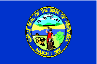
Nebraska Flags
|
||||||||||||||||||||||||||||||||||||||||||||||||||||||||||||||||||||||
 Nebraska Maps


 A sample from the Maine atlas.
 Laminated
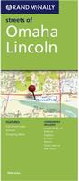
 Sample detail from the Lincoln street map by Seeger.
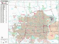
 Sample detail from the Omaha wall map.
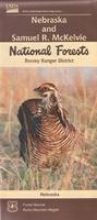
 Index of Nebraska N.F. map coverage.
 Sample #1 of the map detail.
 Sample #2 of the map detail
 Image of the front of the map
 Image of the reverse of the map
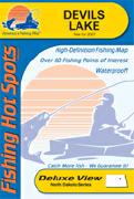

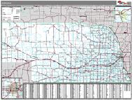 Nebraska State and County Wall Maps. Intelligent Direct.
 Thumbnail of the map.
 Sample of the detail.
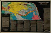 General Soils Map of Nebraska. 1:1,000,000. 1990. NOAA. The general soil map of Nebraska at a scale of one mile equals one-sixteenth of an inch offers an intermediate scale for general use. This map shows good detail yet is concise enough to be easily read. The map features a minimum of 80 soil associations in more than 30 colors. Size is 24 x 36 inches.
 Nebraska Flags