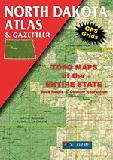
North Dakota Atlas and Gazetteer. 1:250,000. DeLorme. Excellent road atlas with topographic maps and gazetteer.
$29.95
62-8648
Atlas
North Dakota Road & City Maps - Paper
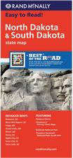
North Dakota & South Dakota Road Map. Rand McNally. Detailed road map of both North and South Dakota. The map shows all Interstate, U.S., state, and county highways and much more. Detailed maps include: Bismark, ND; Black Hills Region, Fargo, ND; Grand Forks, ND; Pierre, SD; Rapid City, SD; Sioux Falls, SD. The map includes a drive-time chart, a mileage chart, and a state parks chart. Map size is 25 c 38 unfolded.
$7.99
62-8690
1 sheet, folded.
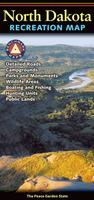
North Dakota Recreation Road Map. Benchmark Maps. 1:633,600.
The maps include:
Laminated! North Dakota & South Dakota Easyfinder Road Map - laminated. Rand McNally. Detailed road map of both North and South Dakota. Map size is 18 x 17 inches.
$9.99
62-86902
1 sheet, folded.
North Dakota City Maps
North Dakota City Street Maps. Seeger/Warren Maps.
$3.95
62-8692BIS
Bismark Street Map.
$5.99
62-8692FA
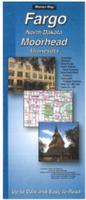
Fargo Street Map. Also covers Moorhead MN.
$4.95
62-8692G
Grand Forks Street Map.
North Dakota City, County, and State Business Wall Maps
North Dakota City Wall Maps.
When it comes to general planning, defining delivery areas, planning direct marketing and delivering products, our city wall maps are perfect to get the detailed information you need.
These maps offer clear mapping by showing all major streets and roads, but leaving out the smaller streets.
If you want a clear map for easy planning, then these are the maps for you; if you want a map showing every little back alley, these are not for you.
We offer state and county wall maps for all of the USA. The maps come in sizes from 24 x 36 to 108 x 144 inches. They are available in variety of mounting and framing options. The maps are ideal for business applications, sales territory, delivery planning, direct mail targeting and hundreds of other applications.
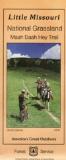
U.S. Forest Service. We stock all available USFS maps for North Dakota.
North Dakota Wall Maps
North Dakota State and County Wall Maps. Intelligent Direct.
We offer state and county wall maps for all of the USA. The maps come in sizes from 24 x 36 to 108 x 144 inches. They are available in variety of mounting and framing options. The maps are ideal for business applications, sales territory, delivery planning, direct mail targeting and hundreds of other applications.
Click here to order county wall maps and to see sample images, descriptions, and prices.
Click here to order state wall maps and to see sample images, descriptions, and prices.
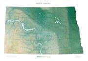
North Dakota Shaded Relief Wall Map. 1:500,000. Raven Maps. The impressive Badlands of the southwest give way to the Great Plains and the beautiful Missouri River. Going east toward the fertile Red River Valley, you'll find a prairie dotted with hills, valleys and lakes. Elevations are represented by color, and this, in combination with our relief shading technique, gives the map a 3-dimensional look. Size is 35 x 51").
Thumbnail of the map. Sample of the detail.


 Sample detail from the North Dakota road map.
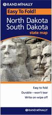 Laminated!
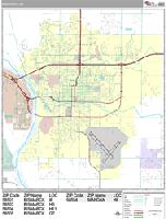
 Sample detail from the Bismarck wall map.
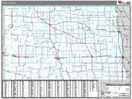 North Dakota County and State Wall Maps.
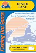
 Waterproof!


 Thumbnail of the map.
 Sample of the detail.
 Sample of the map detail.
 Image of the entire map.
 North Dakota Flags