Fishing Maps by Fishing Hot Spots are superb maps showing the lake bottoms for hundreds of lakes and rivers across the USA. These maps are printed on either kimdura or Hop-syn (both tear-resistent waterproof synthetic materials), making them nearly indestructible. The maps show lake bottom contours, shoreline features, roads leading to the lakes, boating facilities along the lake shore, and much more. Fishing Map sample Enlargement
.
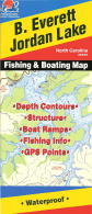
Fishing Maps by Kingfisher Maps. These maps show the topography of the lakebottoms and locations of shore facilities and lake buoys. Folded maps printed on Polyart synthetic "paper," making them nearly indestructible.
Return to Fishing Maps Listings or the OMNI Resources Home Page or the Domestic (USA) Map Index International Map Index
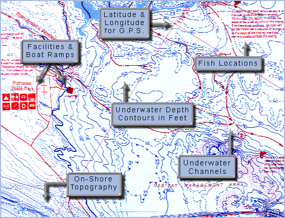
 Fishing Map sample
 Enlargement