|
|
Allegheny Mountains Loop Route
Atlantic Coast Route
Florida Connector Route
Grand Canyon Connector Bike Route
Great Divide Mountain Bike Route
Great Parks North & South Routes
Great Rivers South Route
Idaho Hot Springs Mountain Bike Route Maps
The route is divided into two maps. The Main Route Map contains routing for the main dirt road loop, the paved Lowman Cutoff, which divides the main dirt road loop in half, and the Boise Spur, which guides riders to and from the Boise Airport. The narratives for all routing on the Main Route Map are bi-directional. The Singletrack Options Map contains routing for four unique singletrack options. The Singletrack Options Map is a supplement to the Main Route Map, and you will need to purchase both if choosing to incorporate any of the singletrack offerings into your adventure. The four singletrack options are not bi-directional. If you choose to ride them with the main route, you should go in a counter-clockwise direction.
Lake Erie Connector Route
Lewis & Clark Trail Route
North Lakes Bicycle Route
Northern Tier Route
Pacific Coast Route
Pittsburgh Connector Route
Potomac Tidewater Heritage Trail Map
Regional Mountain Biking MapsRegional Mountain Biking Maps. Adventure Cycling Association.
Route 66 Cycling Maps
While the Bicycle Route 66 tries to follow the historic Route 66 the entire way, current-day conditions require deviations, as part of the historic route no longer exists. The maps in this six-piece collection are waterproof and designed to fit in a handlebar-bag window or jersey pocket. The maps provide information specifically for cyclists: the location of bike shops, sources for food and water, and listings of overnight accommodations including camping facilities, small hotels, and cyclists-only lodging.
Sierra-Cascades Bicycle Trail
Southern Tier Route
TransAmerica Bicycle Trail
Underground Railroad Bike Route
Utah Cliffs Loop Route
Washington National Parks Bicycle Trail
Western Express Bicycle Trail
|
||||||||||||||||||||||||||||||||||||||||||||||||||||||||||||||||||||||||||||||||||||||||||||||||||||||||||||||||||||||||||||||||||||||||||||||||||||||||||||||||||||||||||||||||||||||||||||||||||||||||||||||||||||||||||||||||||||||||||||||||||||||||||||||||||||||||||||||||||||||||||||||||||||||||||||||||||||||||||||||||||||||||||||||||||||||||||||||||||||||||||||||||||||||||||||||||||||||||||||||||||||||||||||||||||||||||||||||||||||||||||||||||||||||||||||||||||||||||||||||||||||||||||||||||||||||||||||||||||||||||||

 Click here
 Map sample from the Atlantic Coast map #4, with sample of route turn-by-turn directions.
 Map sample from the Great Divide map #3, with sample of route turn-by-turn directions
 Map sample from the Pacific Coast map #4, with sample of route turn-by-turn directions
 Elevation profile sample from the Pacific Coast map #4
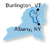
 Small sketch map of the route.
 Detailed sketch map of the route.

 Small sketch map of the route.
 Detailed sketch map of the route.
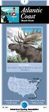
 Route map.
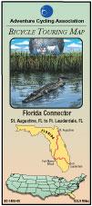
 route sketch map.
 route sketch map.
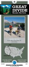
 Route map.
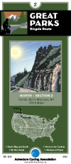
 Great Parks Route Sketch map.
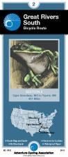
 Route map.
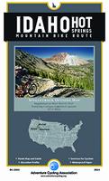

 route sketch map.
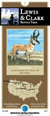
 Route map.
 Route map.
 Lake Erie Connector Route sketch map.
 Route map.
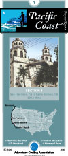
 Route map.
 Sketch map of the route.
 Route map.
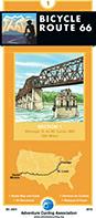
 sketch map of the Cycling Route 66 route
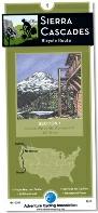
 Sierra-Cascades Route sketch map.
 Route map.
 Route map.
 Route map.


 Route map.
 Route map.